Overview
Natural Features
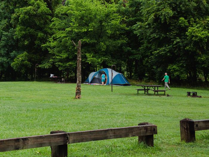
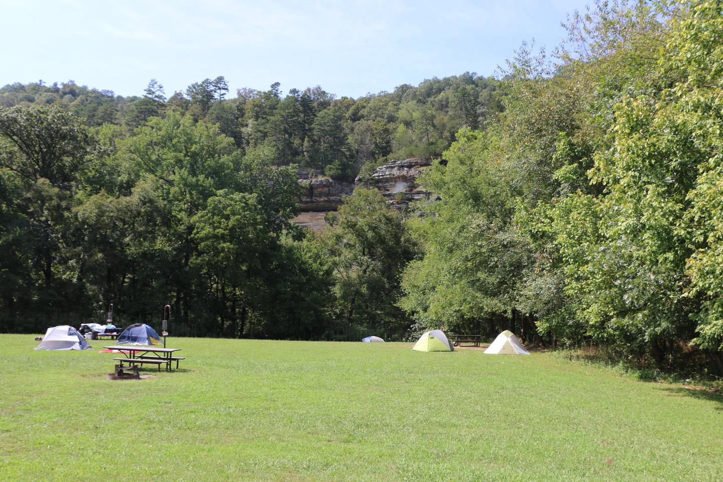
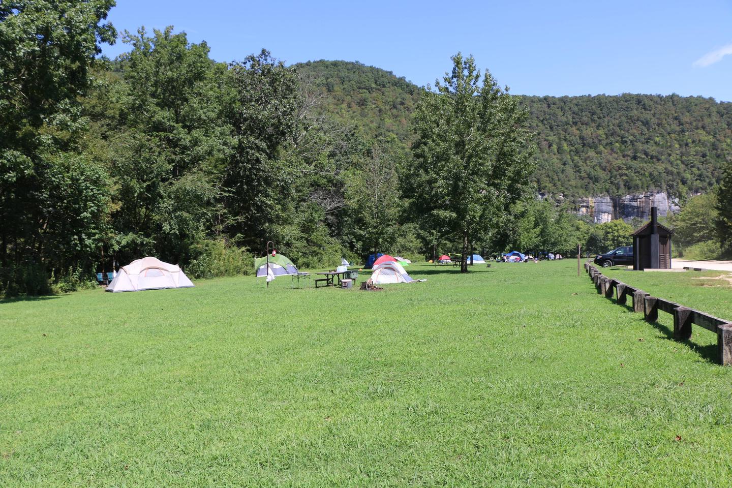
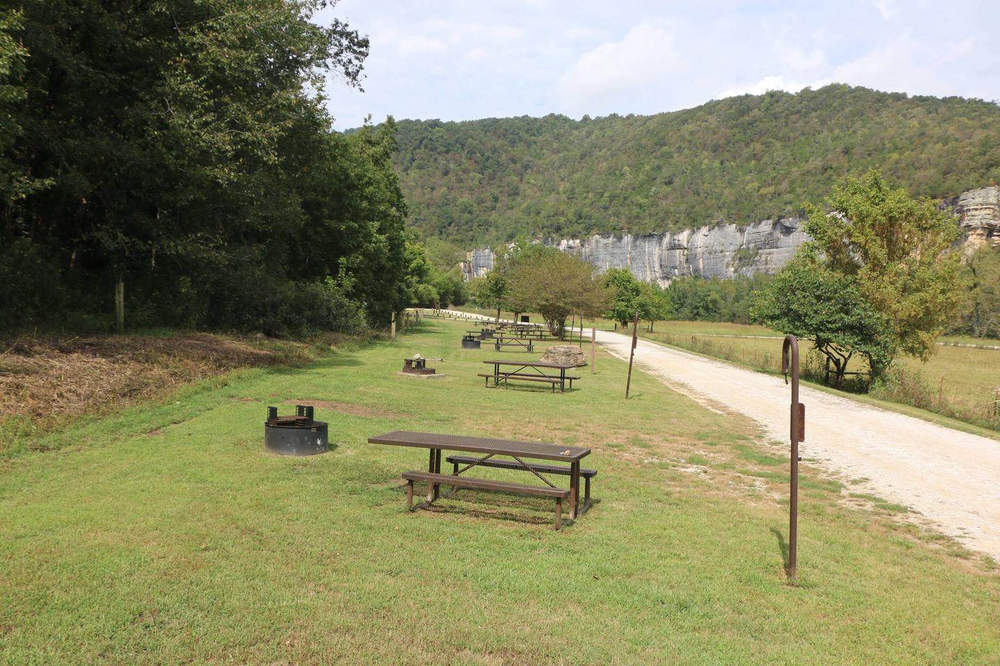
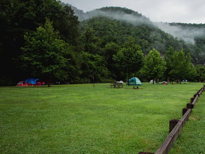
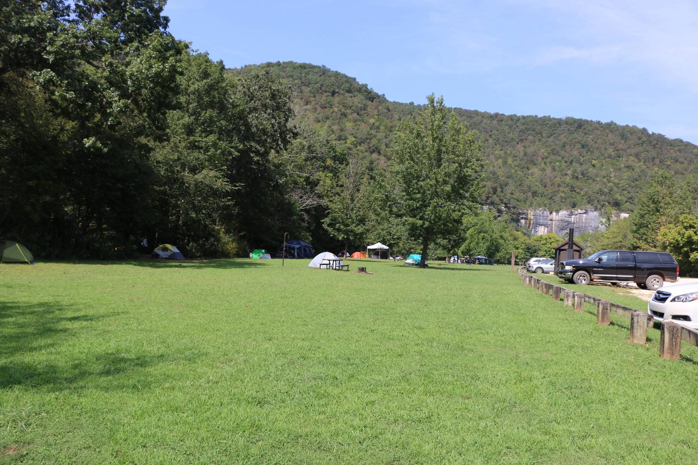
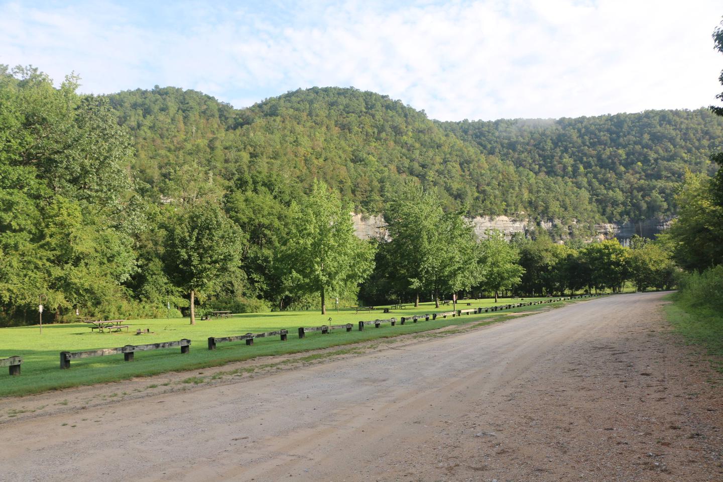
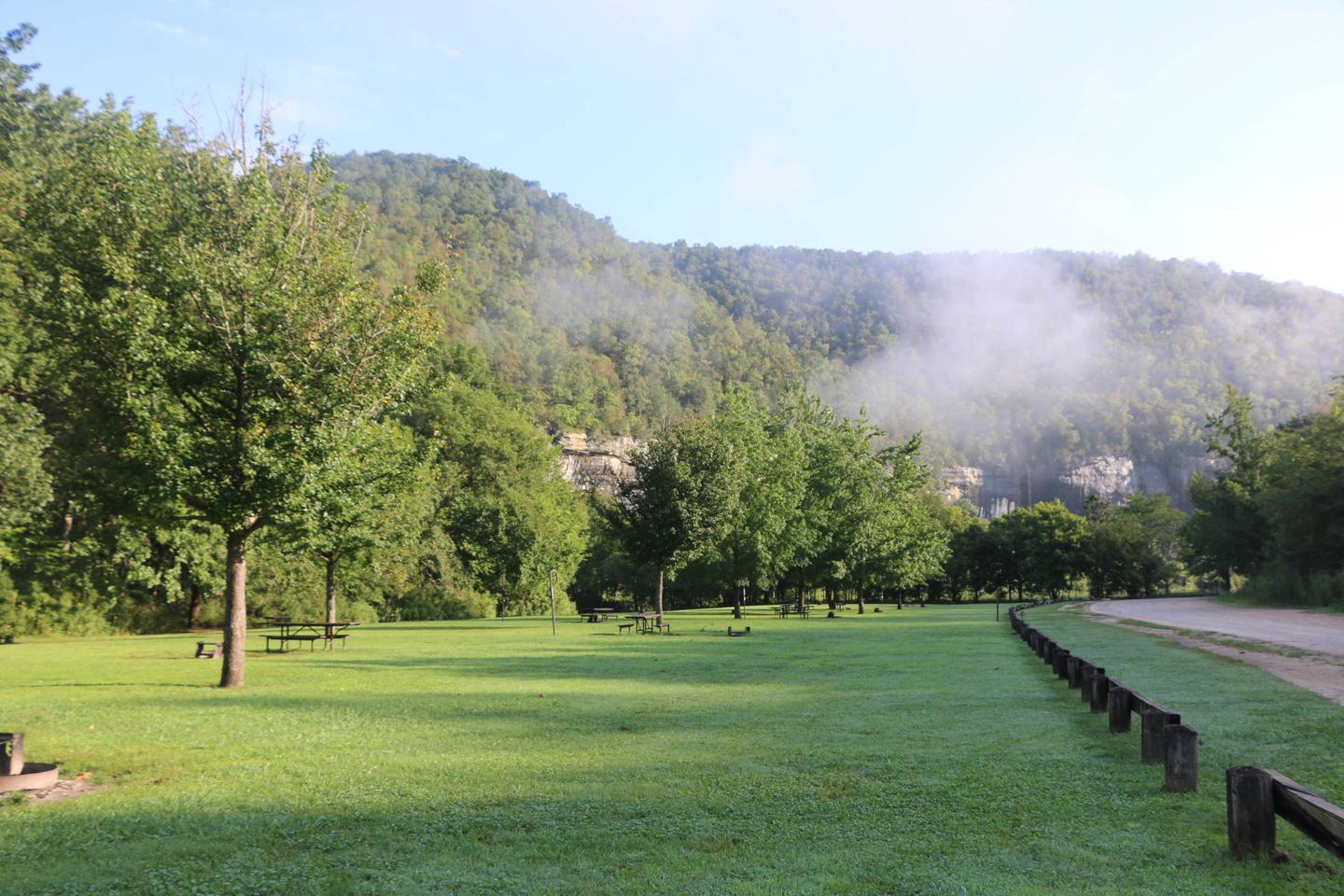
The Buffalo National River flows free over swift running rapids and quiet pools for its 135-mile length. One of the few remaining rivers in the lower 48 states without dams, the Buffalo cuts its way through massive limestone bluffs traveling eastward through the Arkansas Ozarks and into the White River.
Recreation
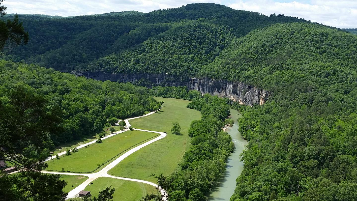

Floating conditions in the upper (westernmost) district of Buffalo National River are extremely dependent upon rainfall. On an average year, the upper river is only navigable by boat in the spring and early summer when consistent rainfall feeds into the watershed. Some sections on the upper end of the river are technical and should not be attempted by novices. For current floating conditions, please check with an outfitter, call the Steel Creek Ranger Station at 870-861-2570, or check river gauges online at ar.water.usgs.gov/buffaloriver.
Permitted Equipment
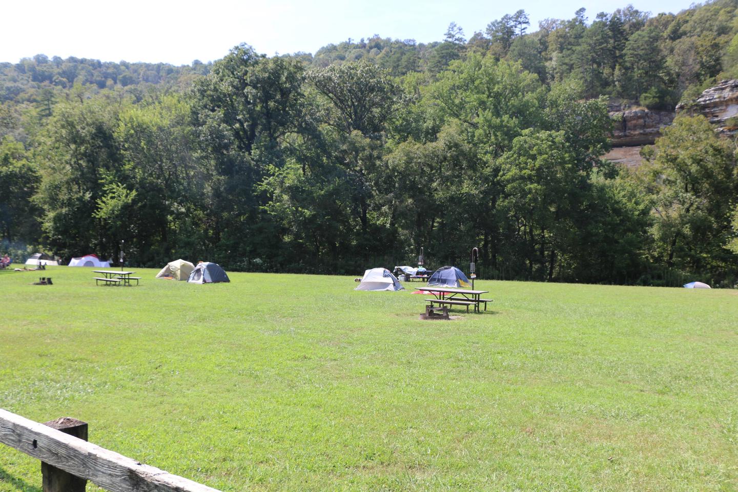
tent-N/A
Nearby Attractions
The Buffalo River Trail runs through Steel Creek and offers great day hiking or overnight backcountry opportunities.
Boxley Valley is nearby and is home to Lost Valley, an easy to moderate trail that leads hikers past geologic and water formations. Call the Steel Creek Ranger Station at 870-861-2570 or visit www.nps.gov/buff for more details.
