
Pictured Rocks National Lakeshore
Sandstone cliffs, beaches, waterfalls, sand dunes, inland lakes, deep forest, and wild shoreline beckon you to visit Pictured Rocks National Lakeshore. The power of Lake Superior shapes the park's coastal features and affects every ecosystem, creating a unique landscape to explore. Hiking, camping, sightseeing, and four-season outdoor opportunities abound.
Directions
Pictured Rocks NL is located on the south shore of Lake Superior in Michigan's Upper Peninsula, between the towns of Munising (west) and Grand Marais (east). Access the west side of the park via Michigan highways M-28 and M-94 to Munising. State highway M-77 leads to Grand Marais on the east side. Alger County Road H-58 runs parallel and through the park, providing access to spur roads that lead to scenic overlooks, trailheads, campgrounds, beaches, etc. Many roads are closed in winter due to snow.
DISCOVER THE BEST OF AMERICA'S GREAT OUTDOORS
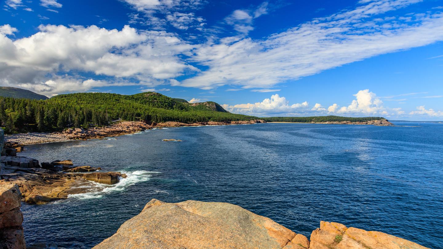
Acadia National Park
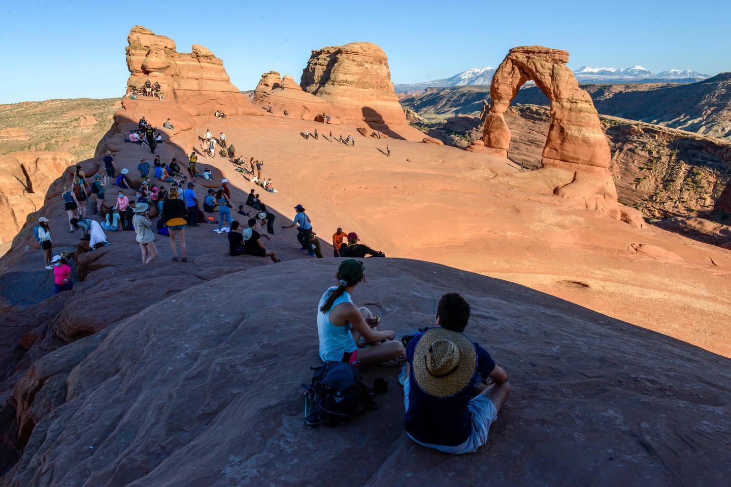
Arches National Park
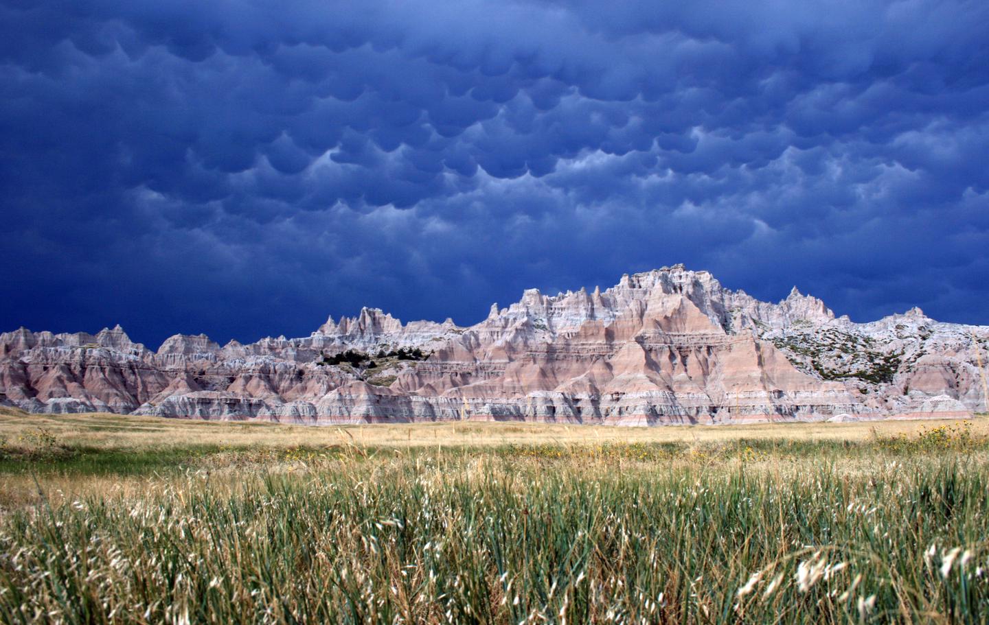
Badlands National Pa...
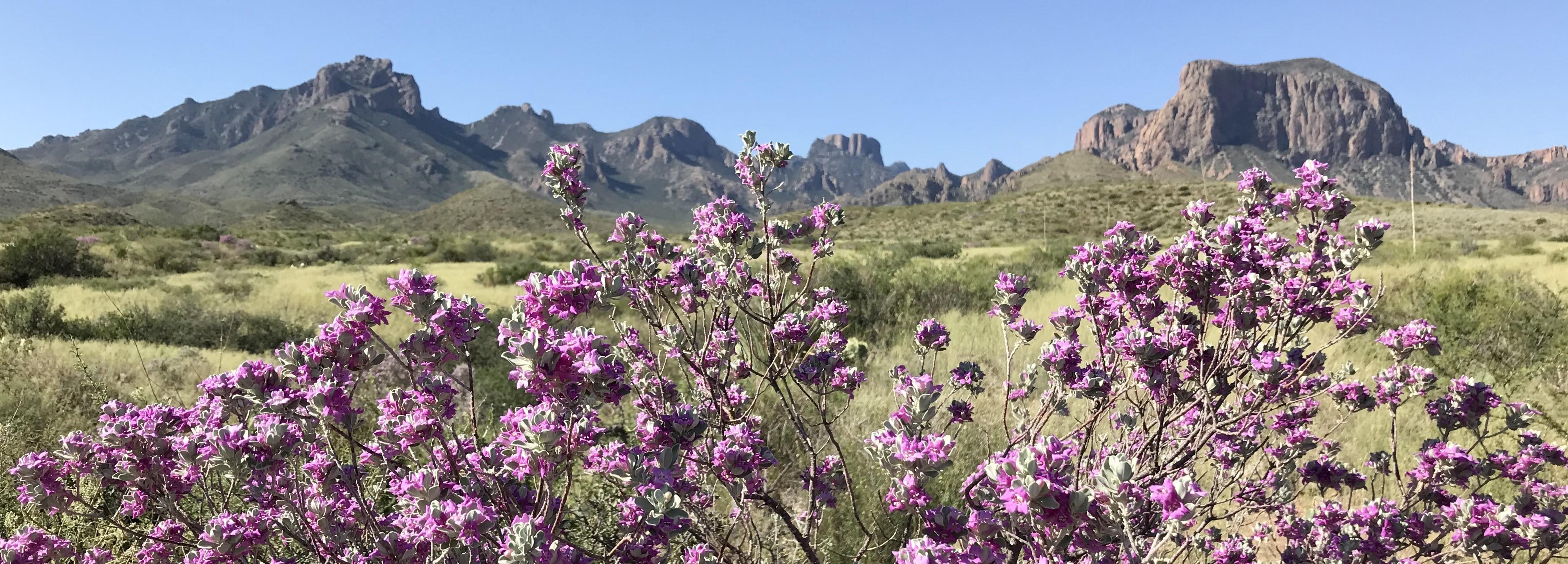
Big Bend National Pa...
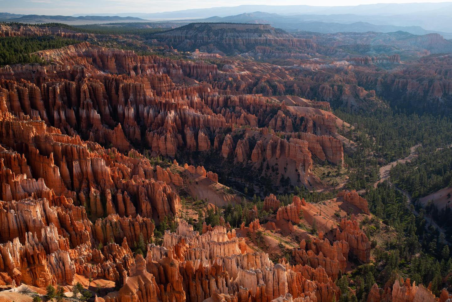
Bryce Canyon Nationa...
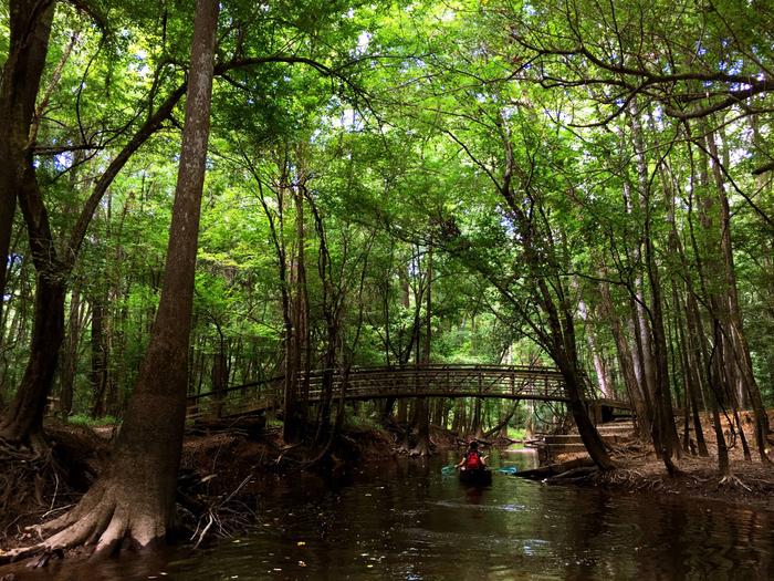
Congaree National Pa...
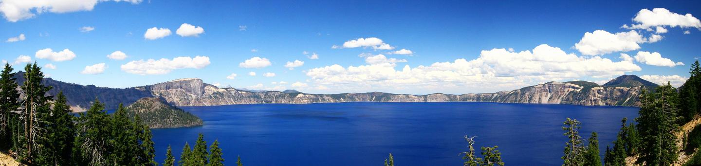
Crater Lake National...
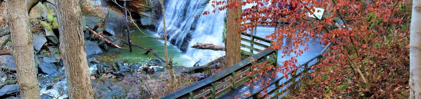
Cuyahoga Valley Nati...
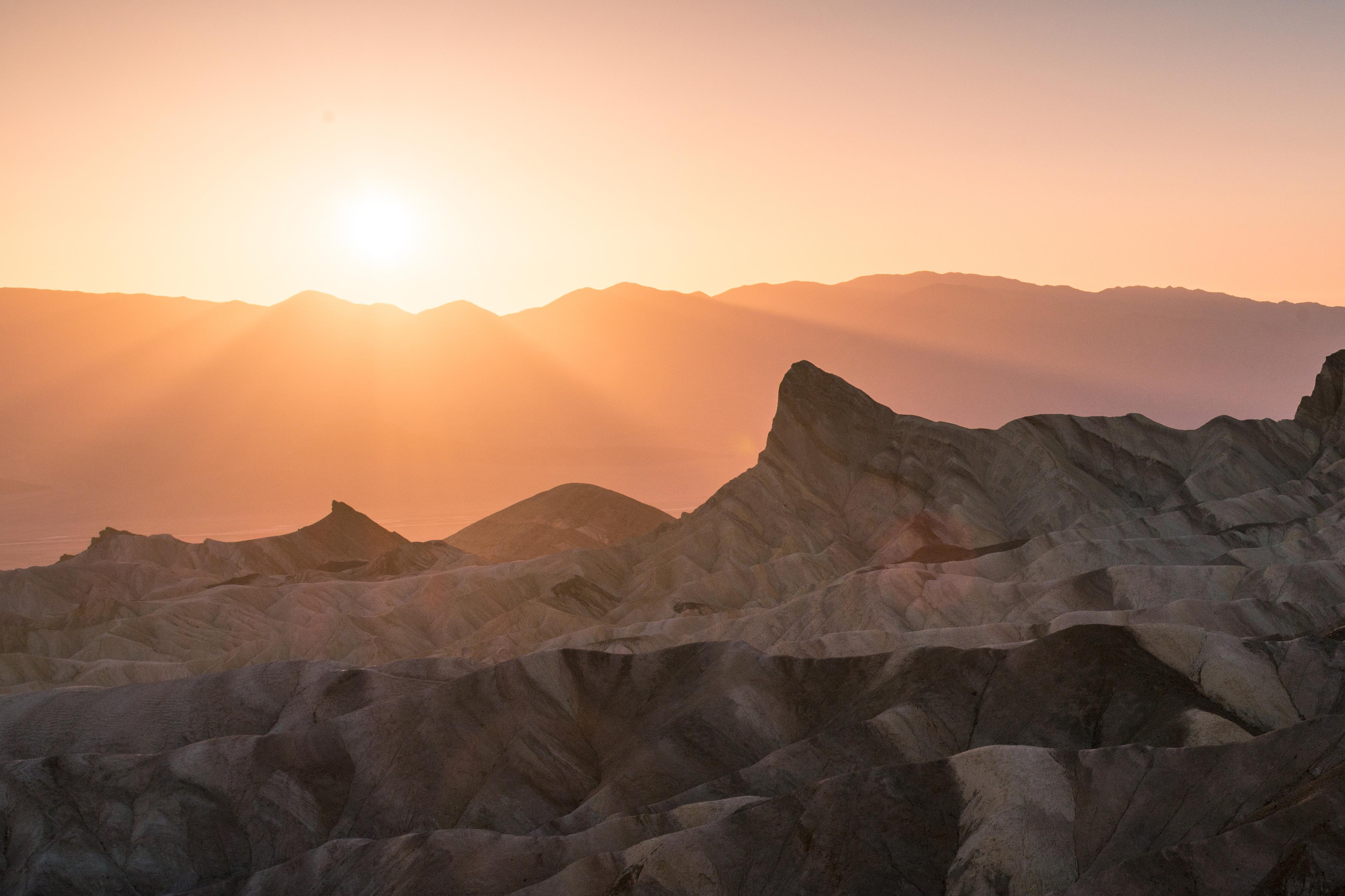
Death Valley Nationa...
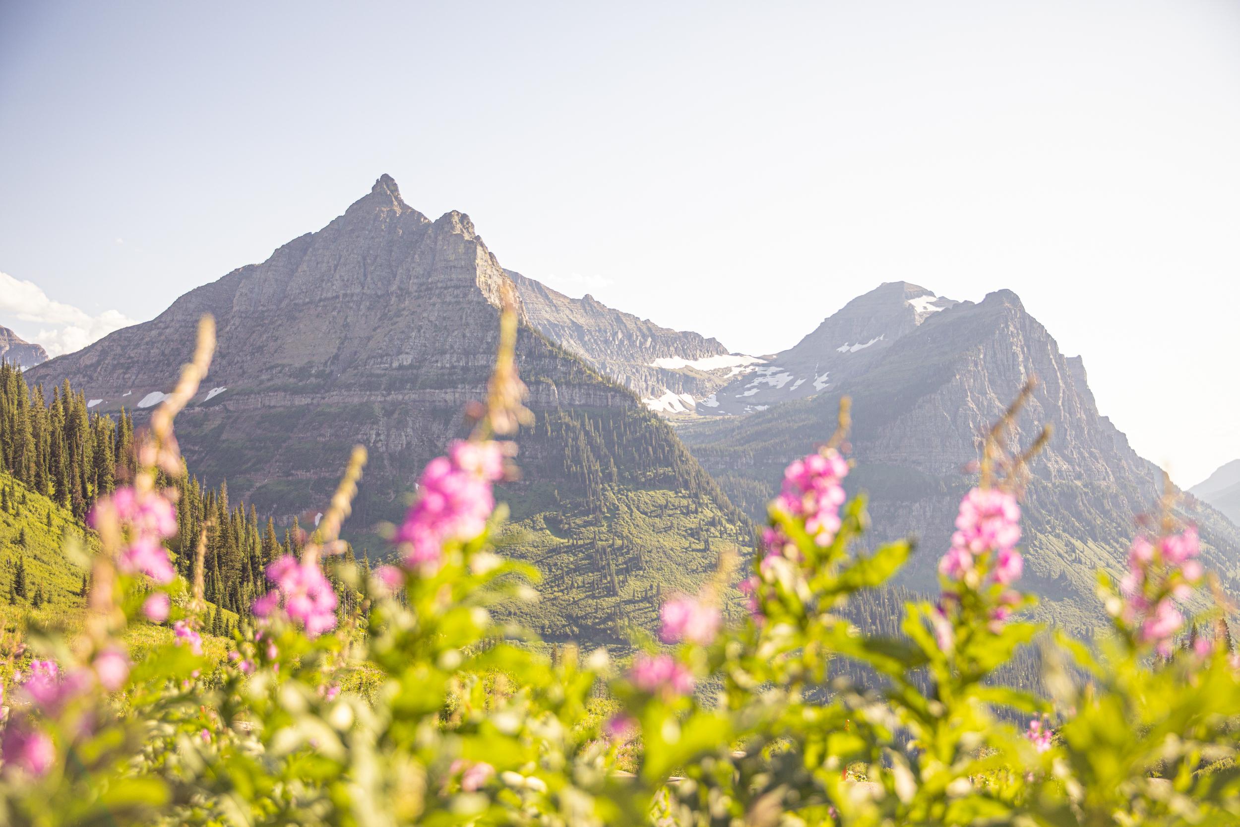
Glacier National Par...
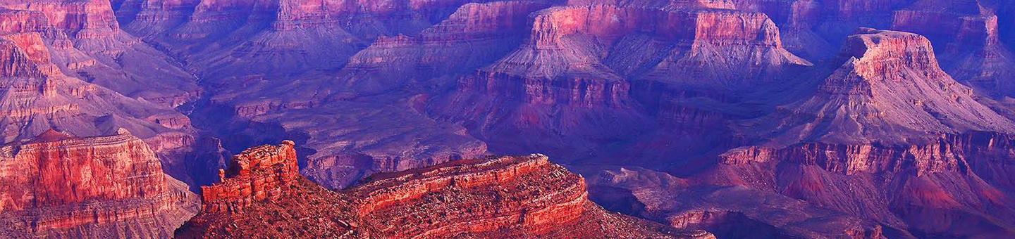
Grand Canyon Nationa...
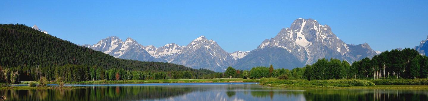
Grand Teton National...
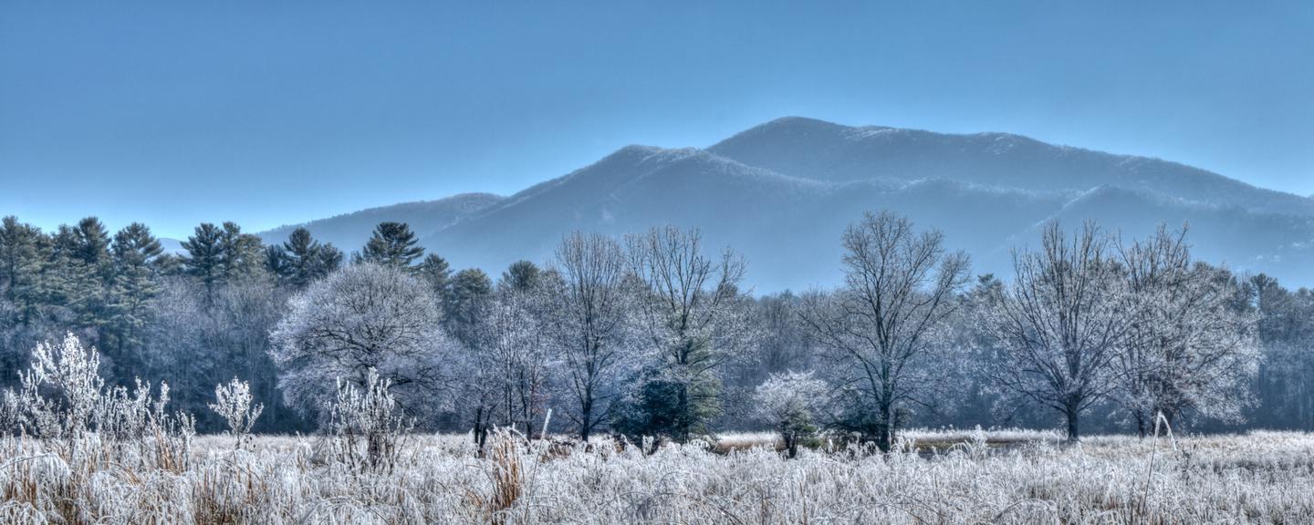
Great Smoky Mountain...
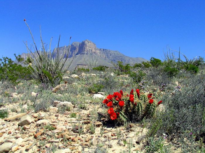
Guadalupe Mountains...
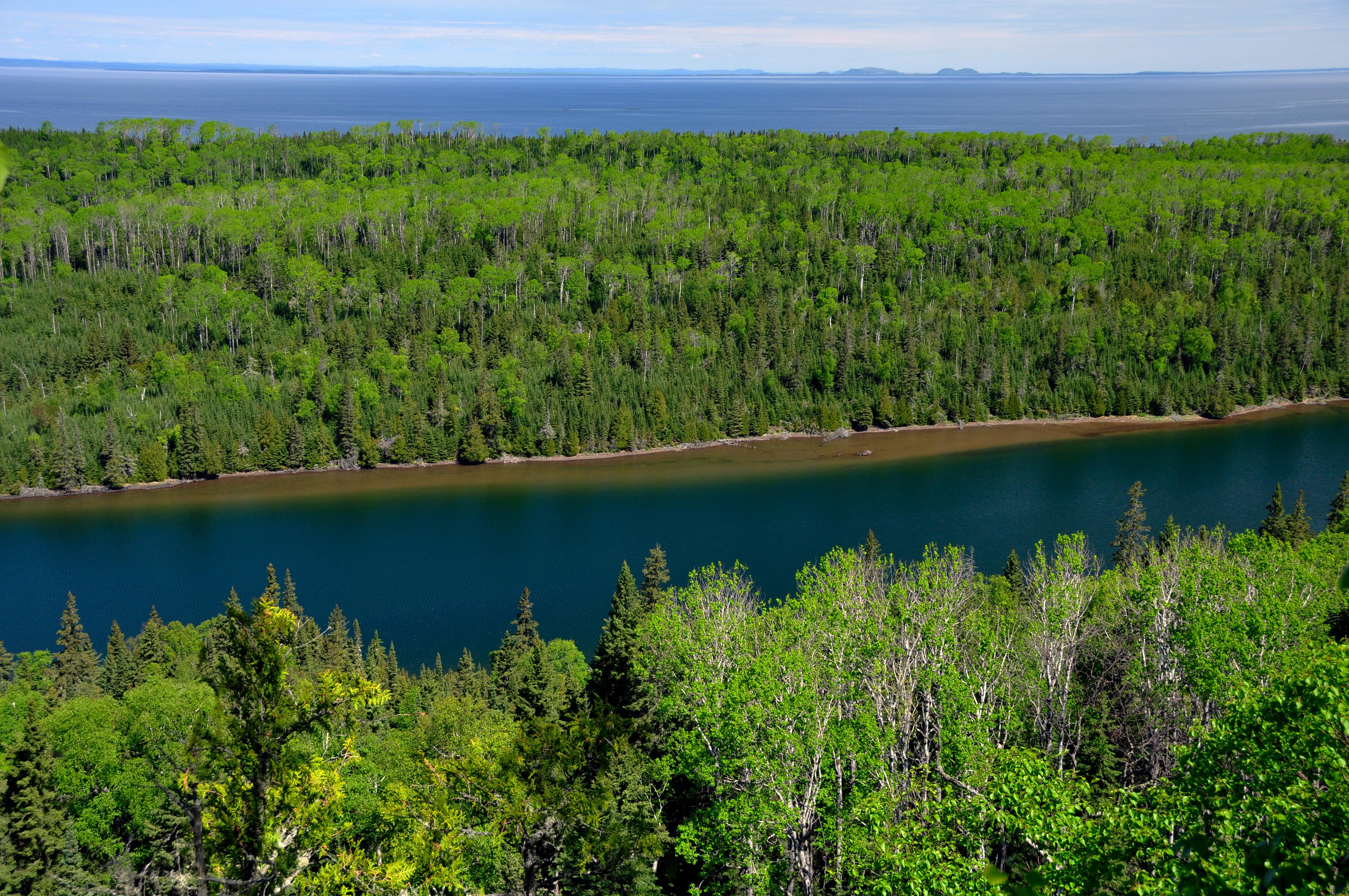
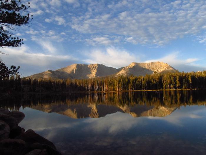
Isle Royale National...
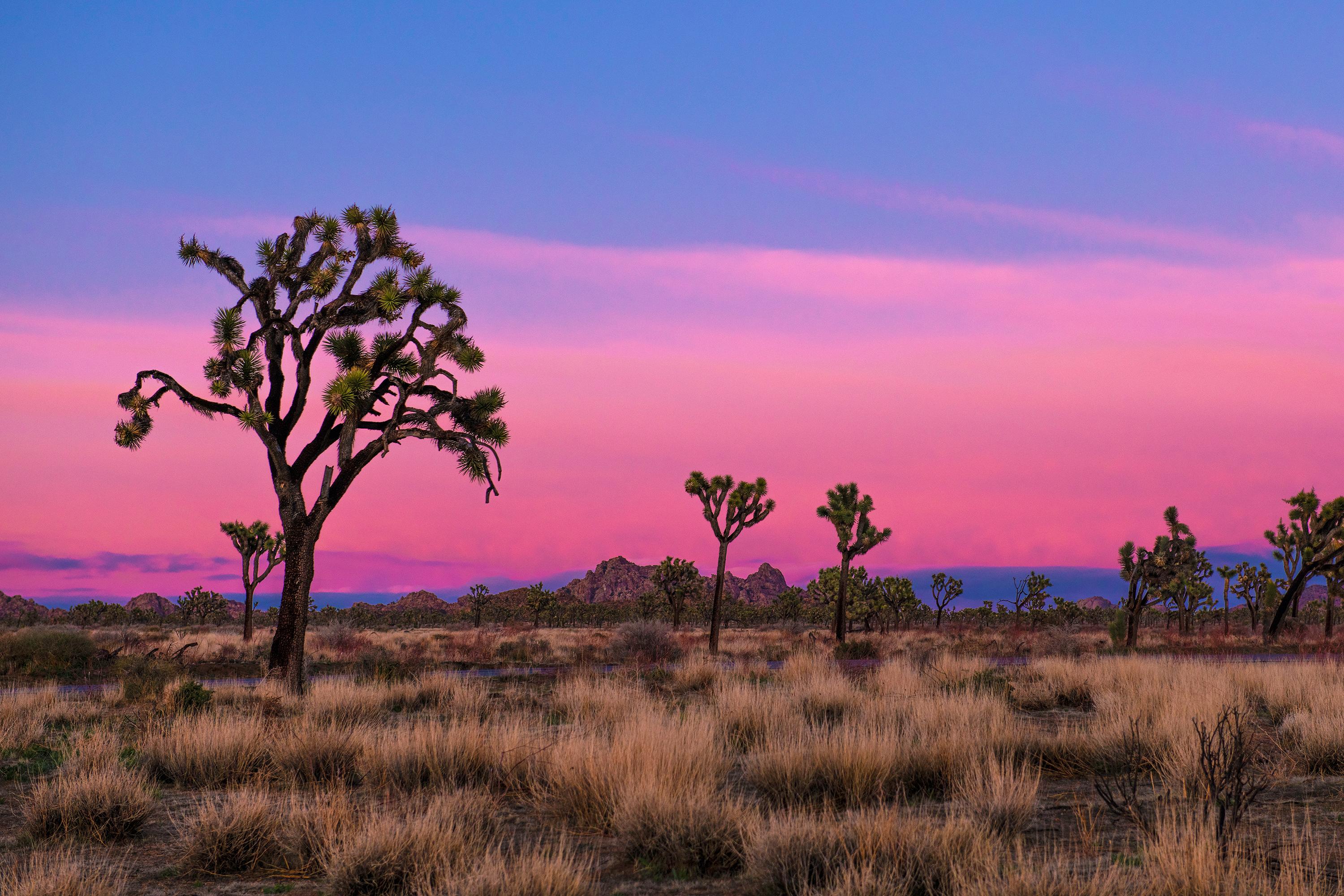
Joshua Tree National...
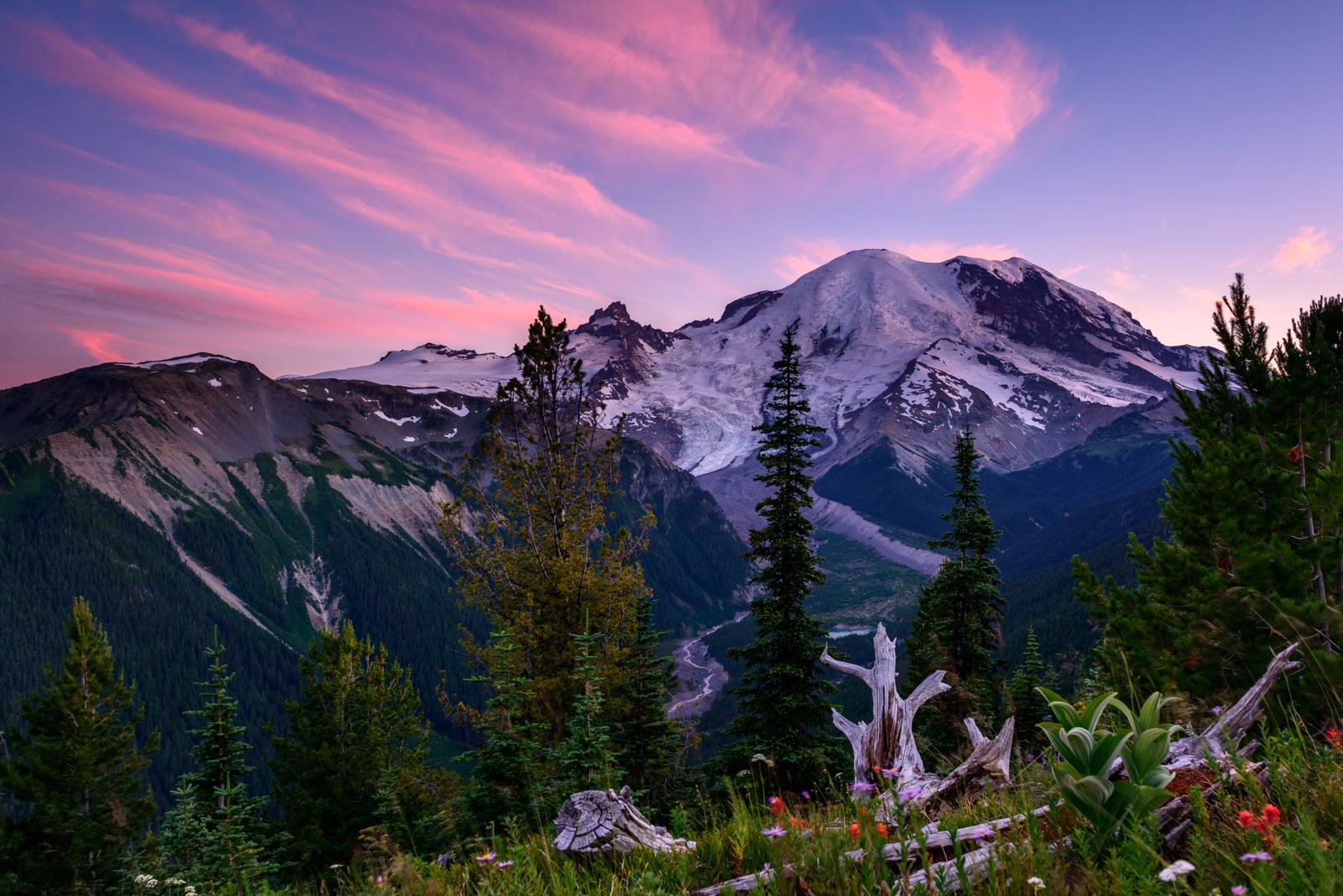
Mount Rainier Nation...
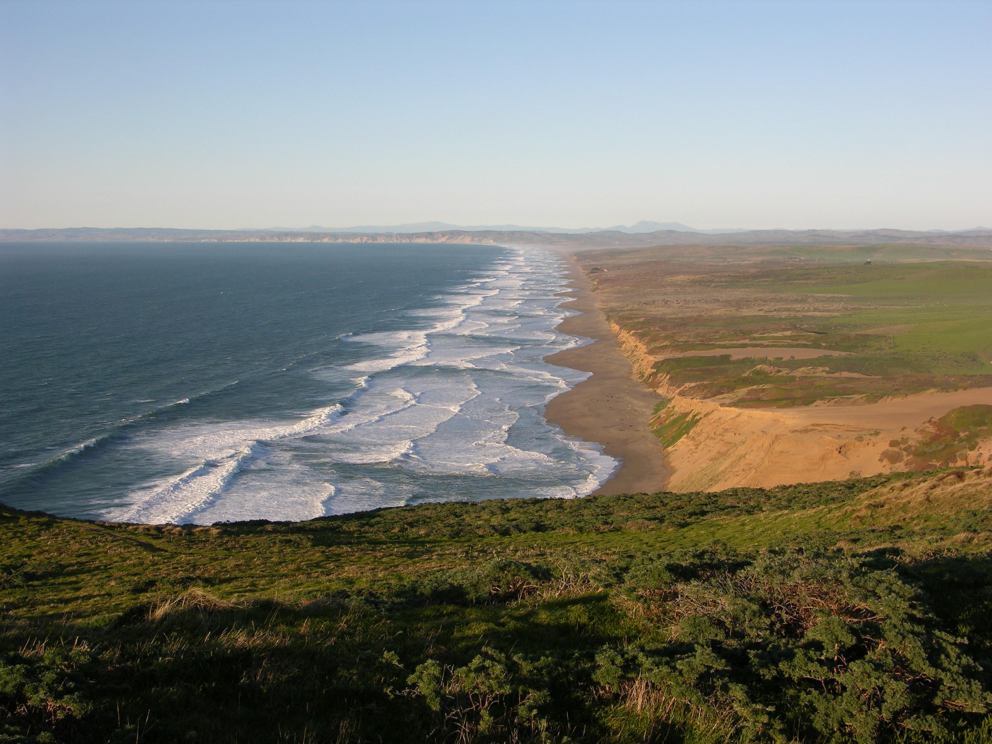
Point Reyes National...
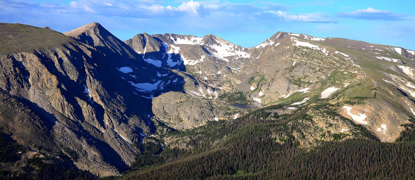
Rocky Mountain Natio...
Sequoia & Kings Cany...
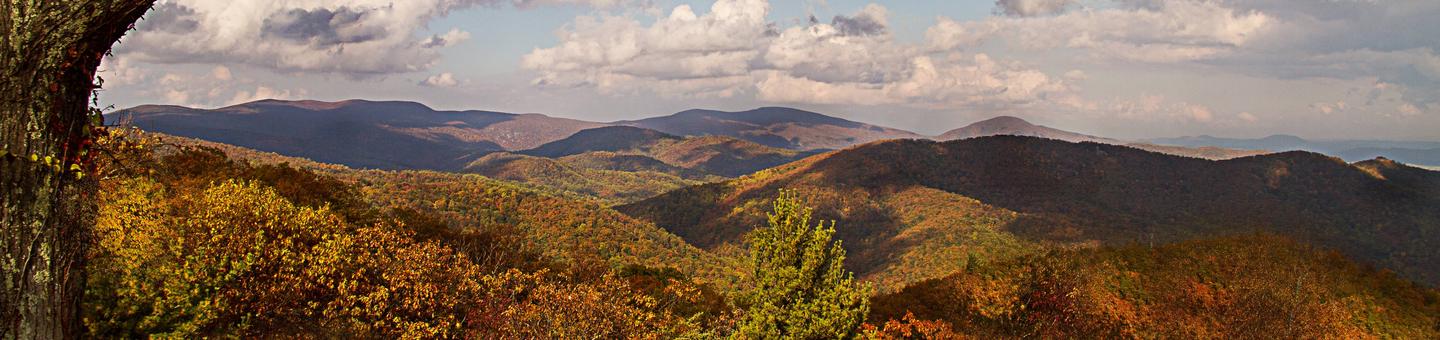
Shenandoah National...
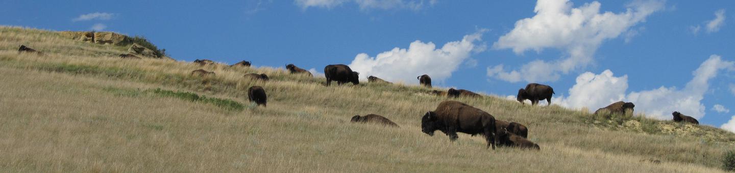
Theodore Roosevelt N...
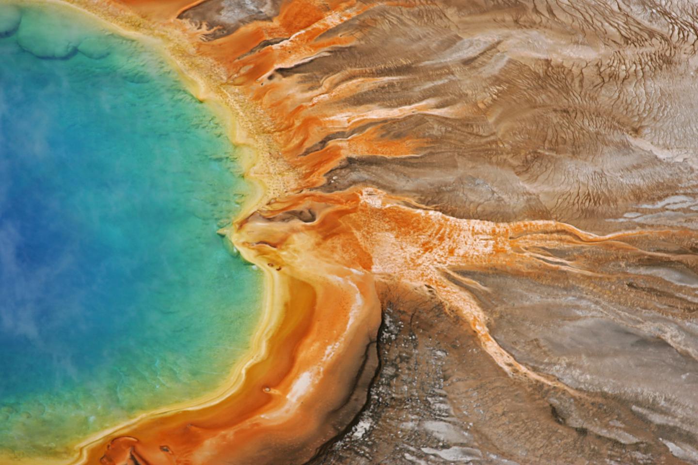
Yellowstone National...
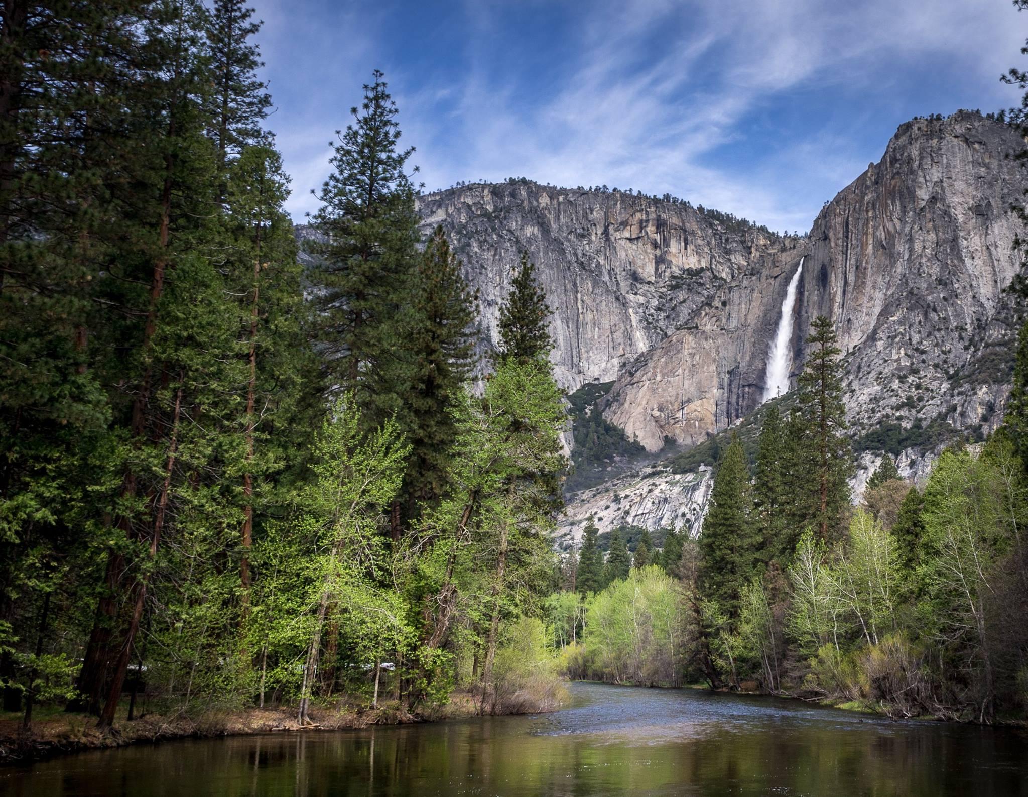
Yosemite National Pa...
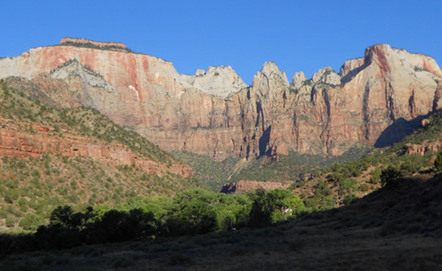
Zion National Park
Pictured Rocks National Lakeshore
Sandstone cliffs, beaches, waterfalls, sand dunes, inland lakes, deep forest, and wild shoreline beckon you to visit Pictured Rocks National Lakeshore. The power of Lake Superior shapes the park's coastal features and affects every ecosystem, creating a unique landscape to explore. Hiking, camping, sightseeing, and four-season outdoor opportunities abound.
Directions
Pictured Rocks NL is located on the south shore of Lake Superior in Michigan's Upper Peninsula, between the towns of Munising (west) and Grand Marais (east). Access the west side of the park via Michigan highways M-28 and M-94 to Munising. State highway M-77 leads to Grand Marais on the east side. Alger County Road H-58 runs parallel and through the park, providing access to spur roads that lead to scenic overlooks, trailheads, campgrounds, beaches, etc. Many roads are closed in winter due to snow.