
Buffalo National River
Established in 1972, Buffalo National River flows freely for 135 miles and is one of the few remaining undammed rivers in the lower 48 states. Once you arrive, prepare to journey from running rapids to quiet pools while surrounded by massive bluffs as you cruise through the Ozark Mountains down to the White River.
Directions
Buffalo National River is a long, narrow park that is crossed by three main highways. Highways 7, 43, and 62/65 are the main roads out of Harrison, Arkansas that will take you to the Buffalo River, depending on which part of the park you wish to visit. GPS systems are not reliable in this area so please call ahead for directions or pick up a map of the area beforehand.
DISCOVER THE BEST OF AMERICA'S GREAT OUTDOORS
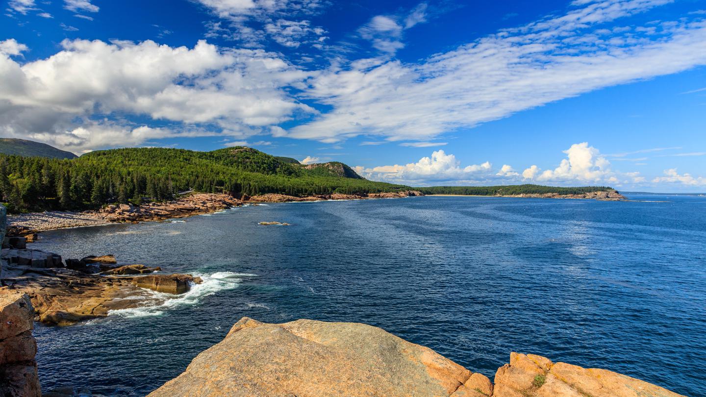
Acadia National Park
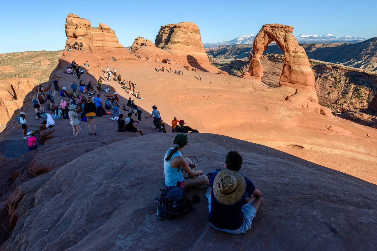
Arches National Park
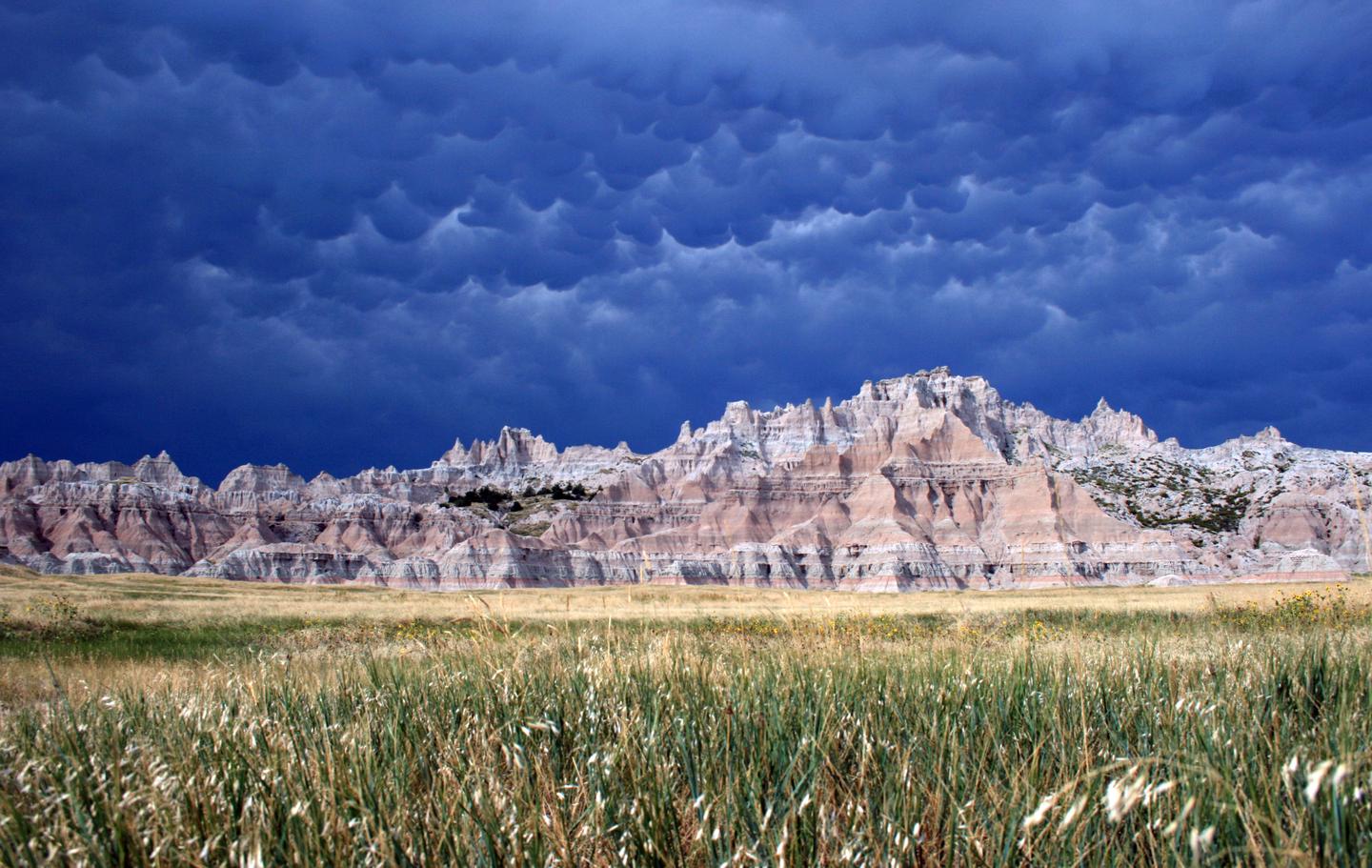
Badlands National Pa...
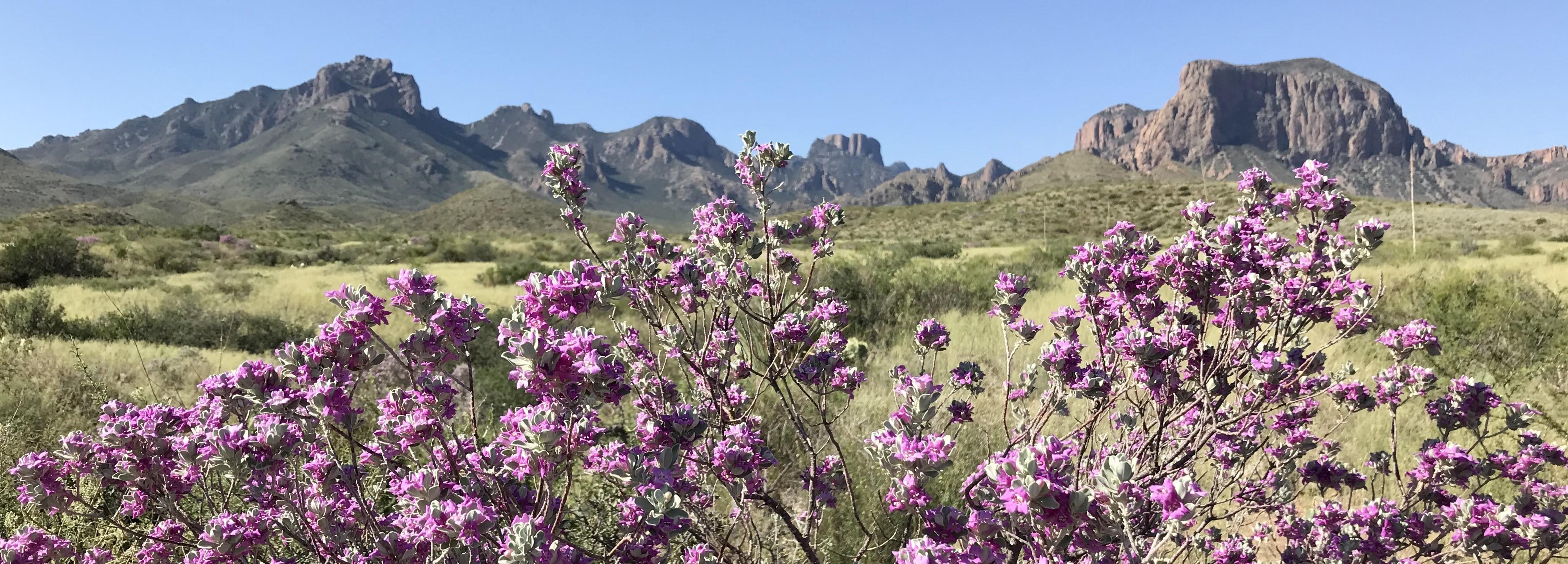
Big Bend National Pa...
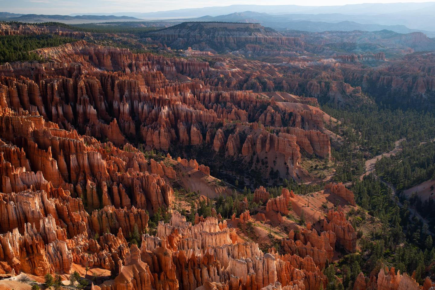
Bryce Canyon Nationa...
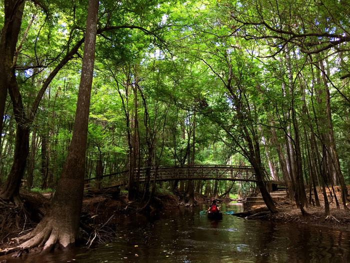
Congaree National Pa...
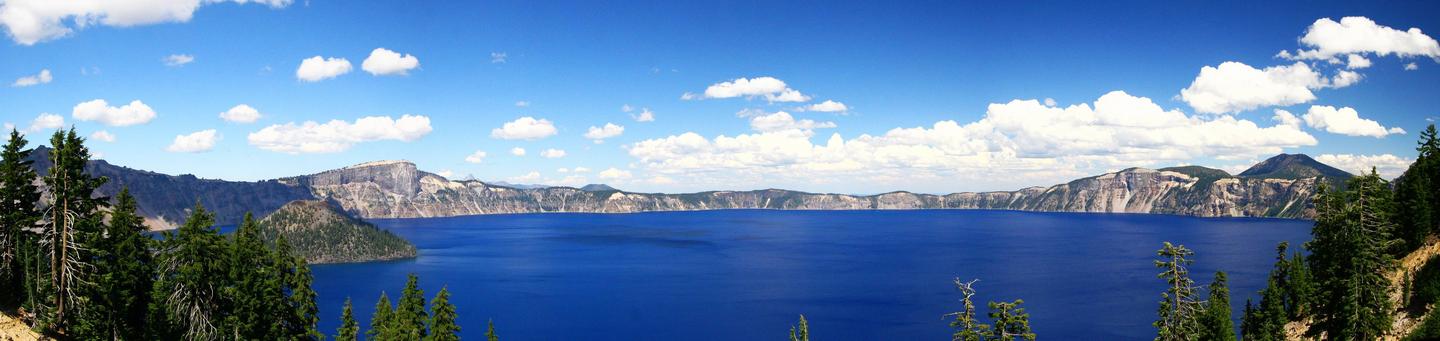
Crater Lake National...
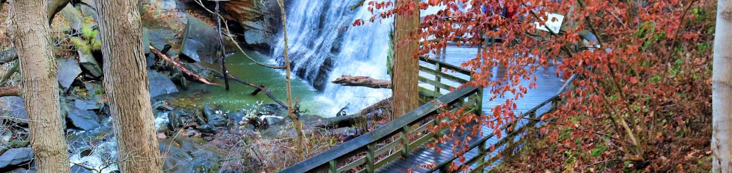
Cuyahoga Valley Nati...
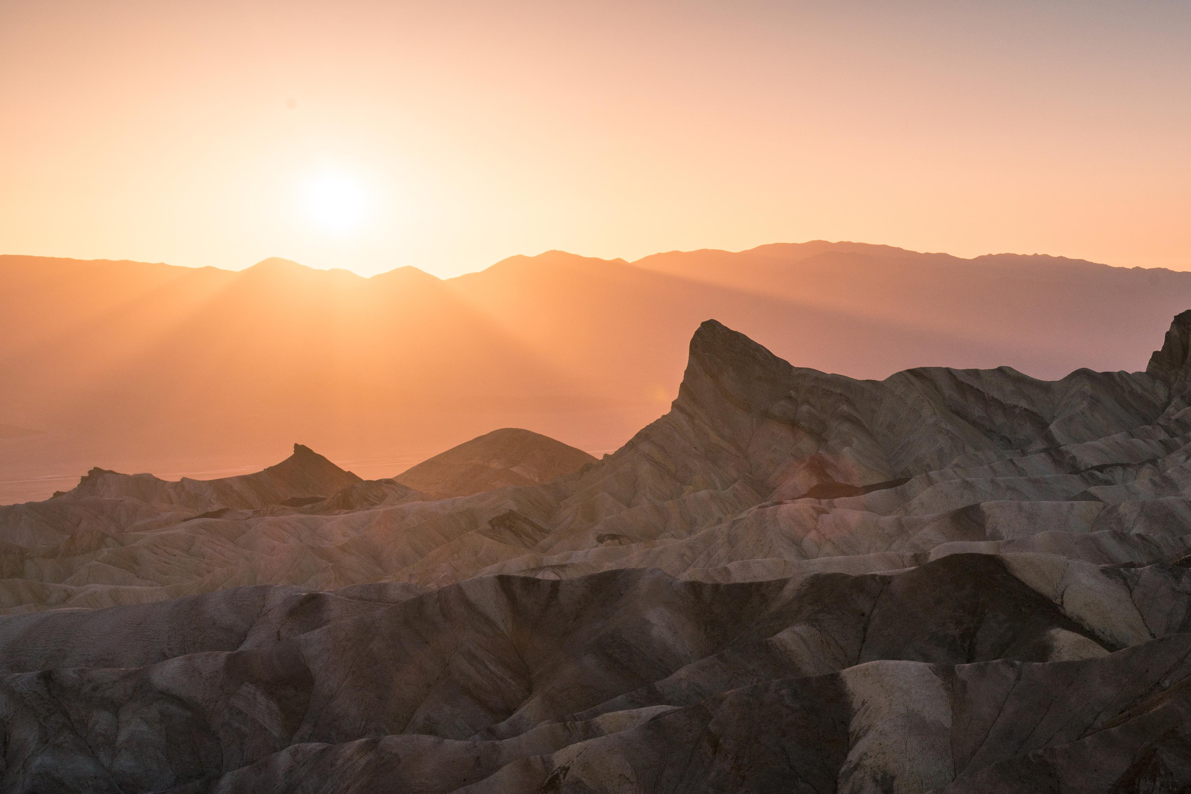
Death Valley Nationa...
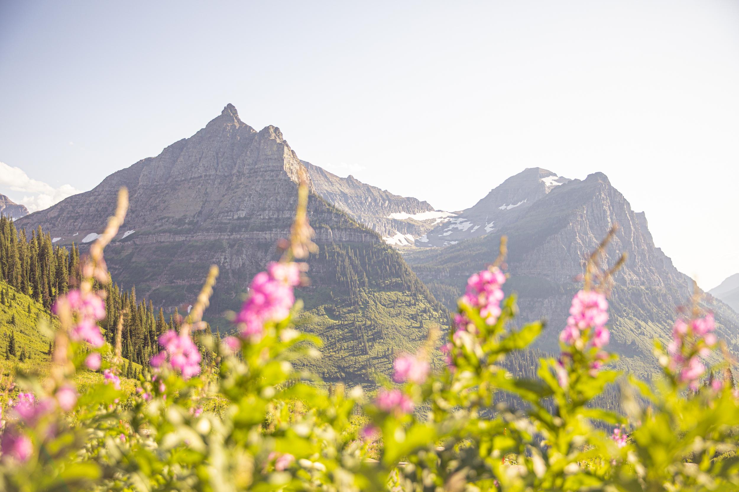
Glacier National Par...
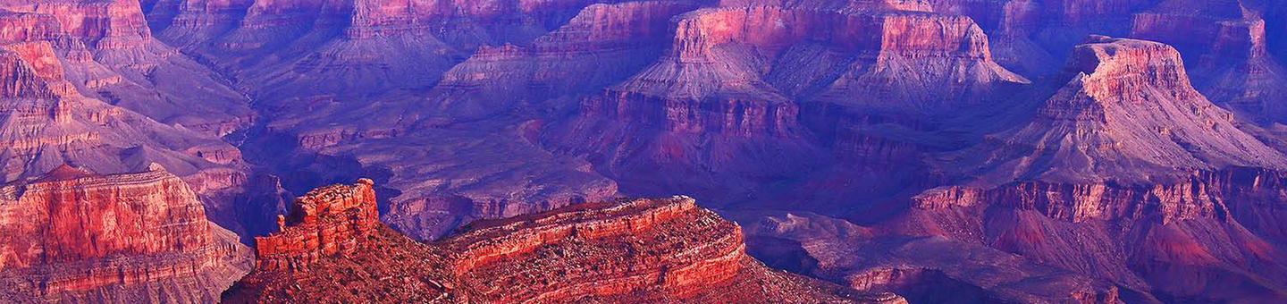
Grand Canyon Nationa...
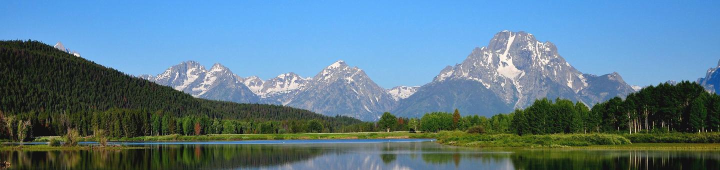
Grand Teton National...
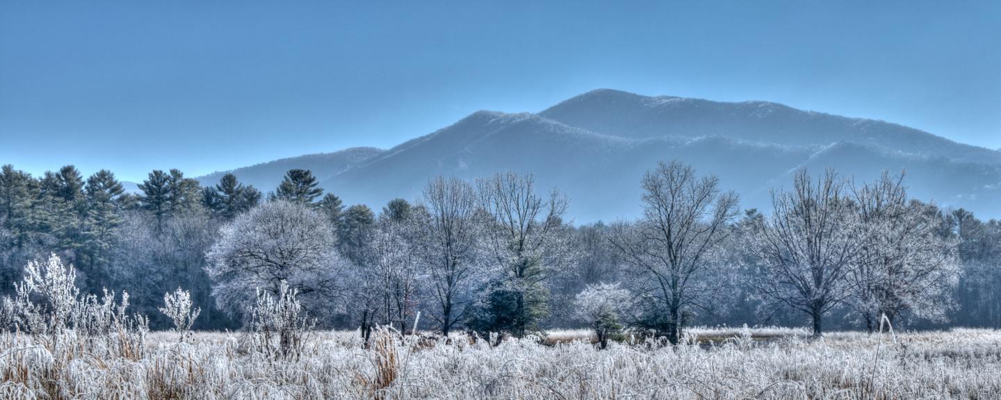
Great Smoky Mountain...
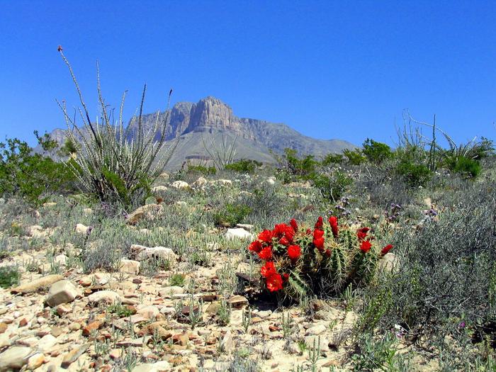
Guadalupe Mountains...
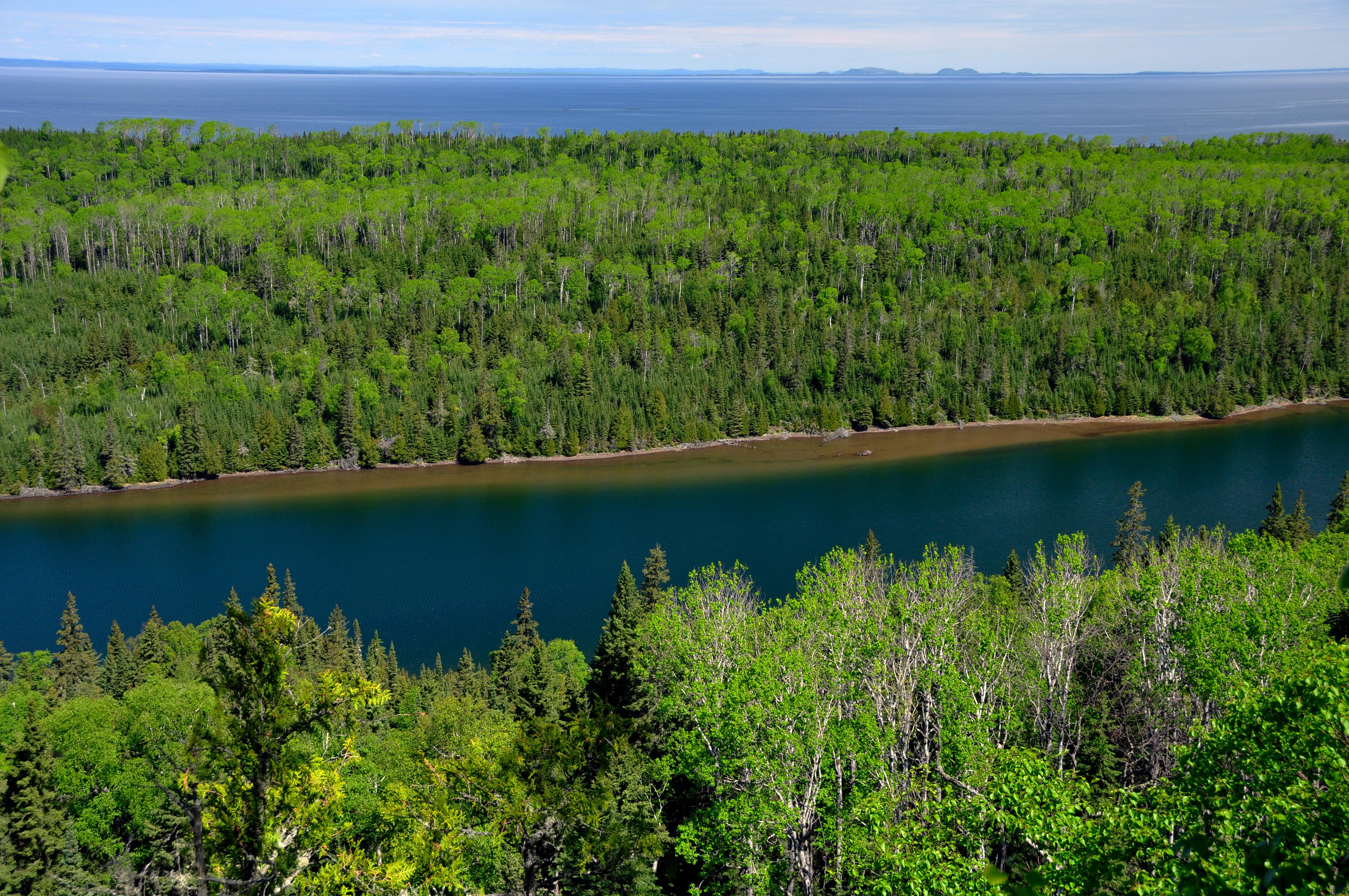
Isle Royale National...
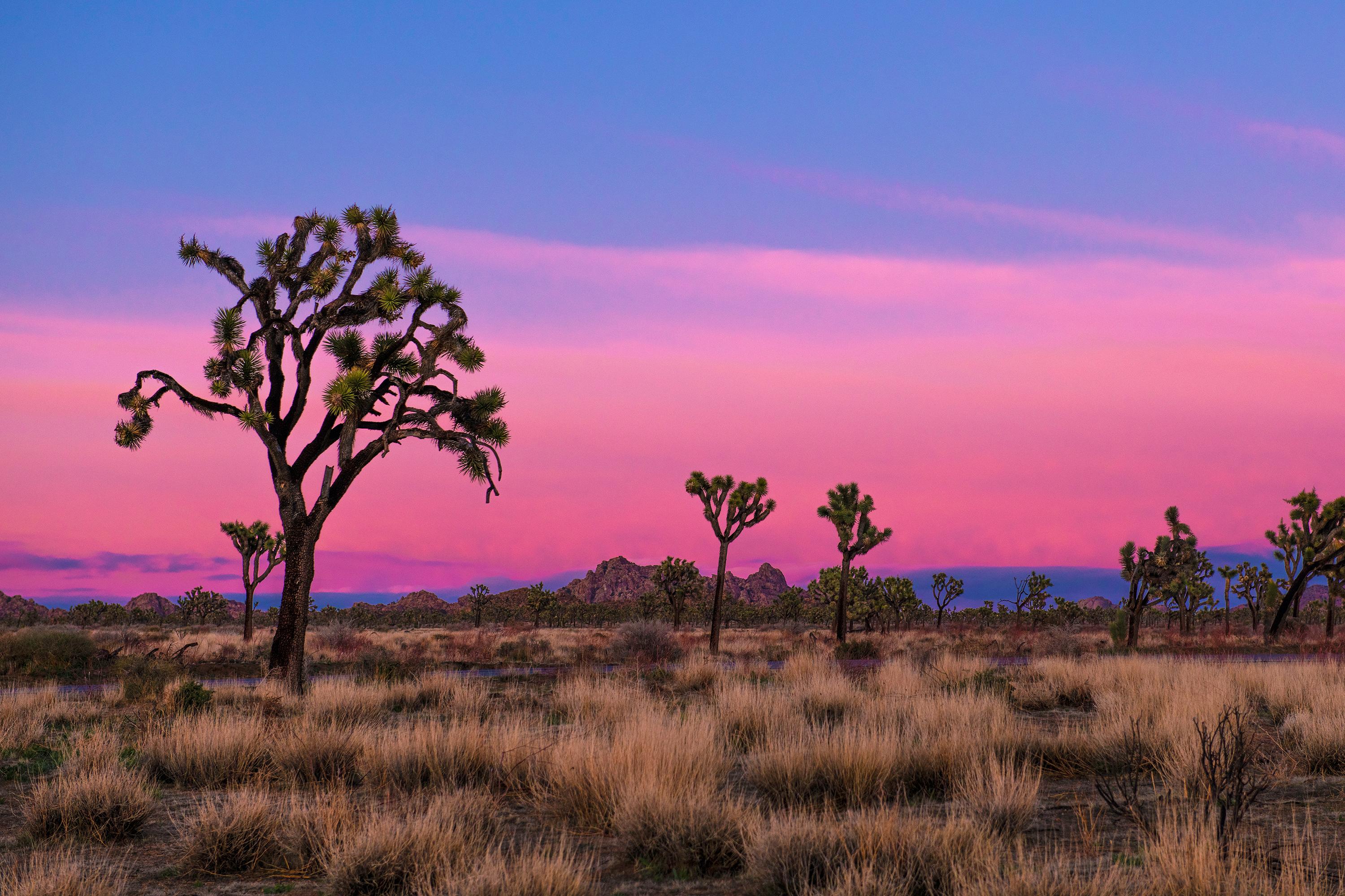
Joshua Tree National...
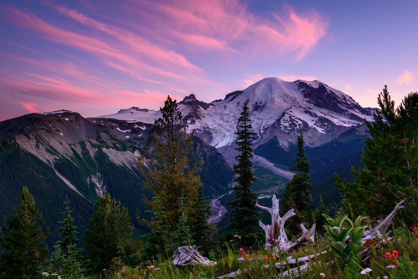
Mount Rainier Nation...
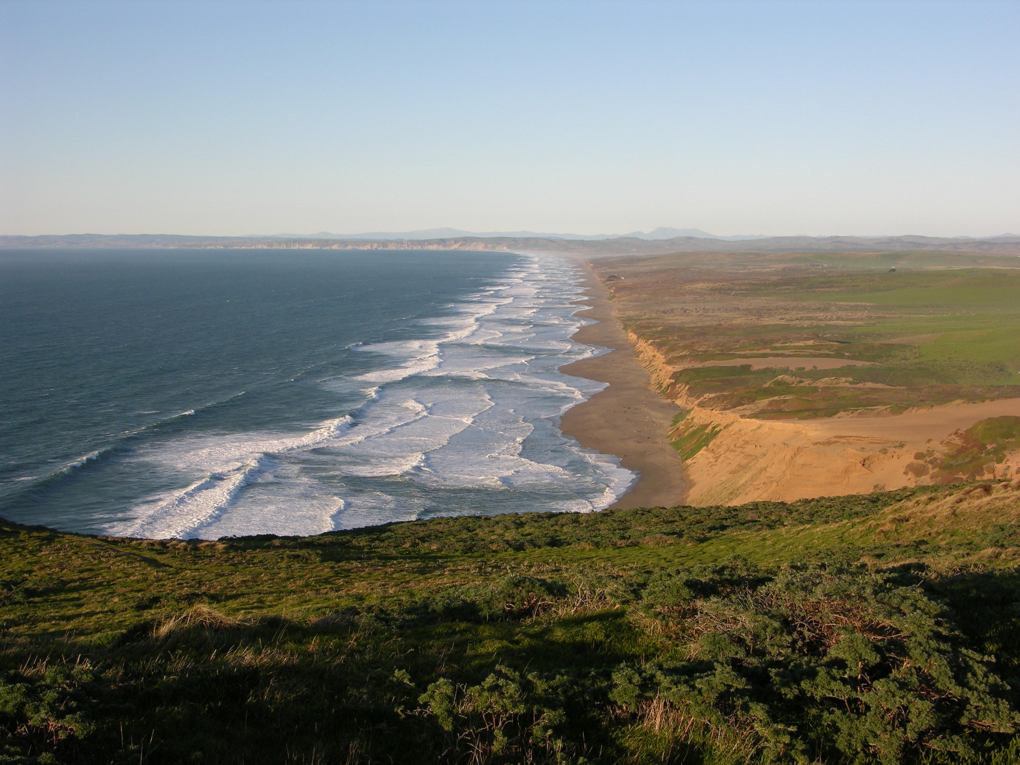
Point Reyes National...
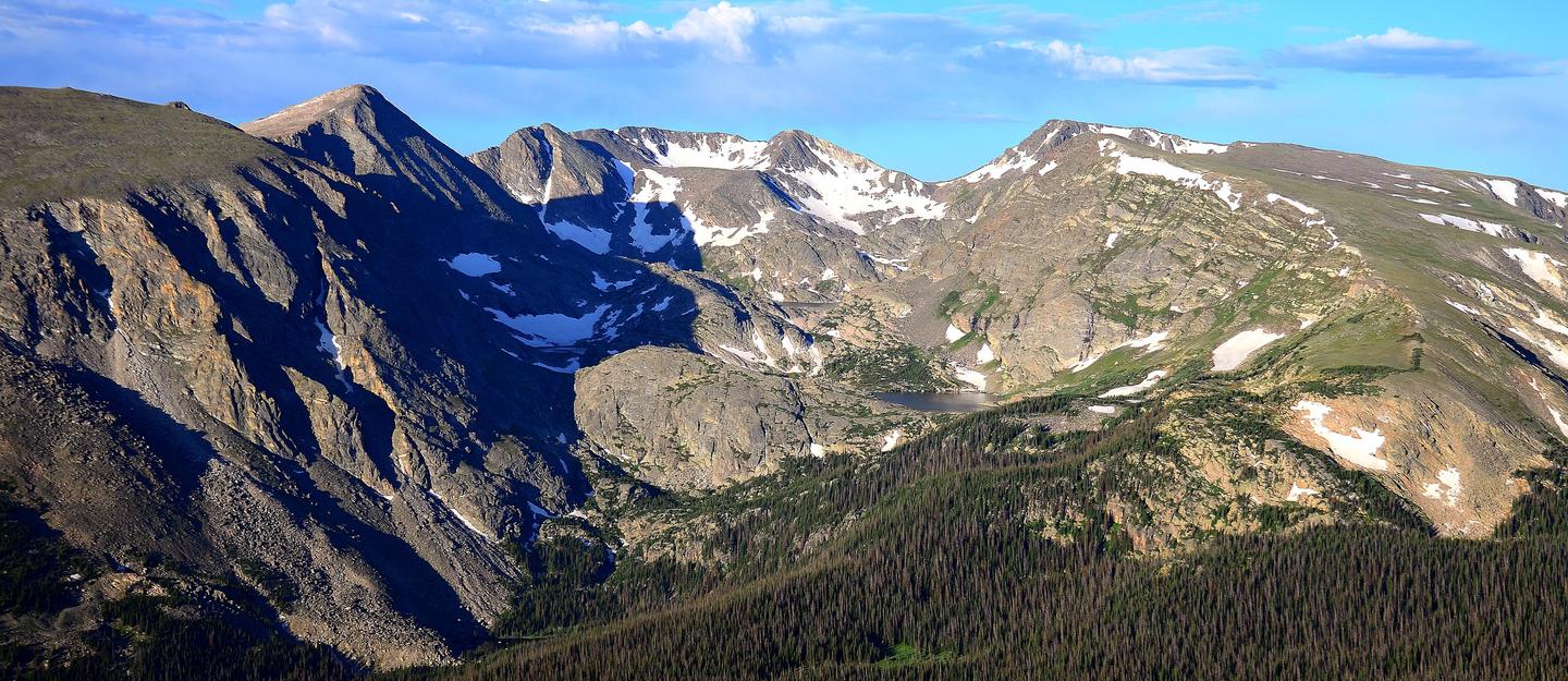
Rocky Mountain Natio...
Sequoia & Kings Cany...
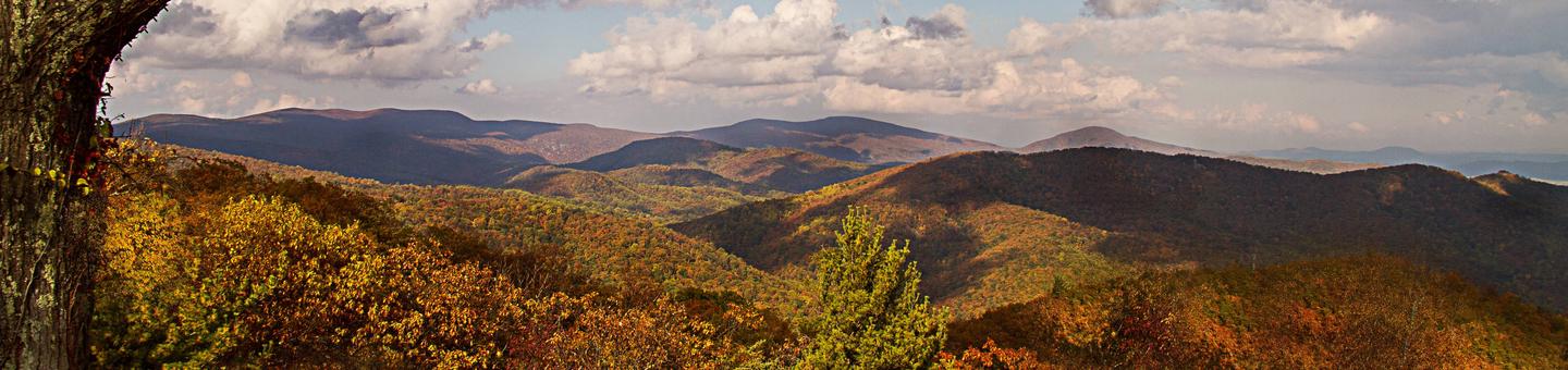
Shenandoah National...
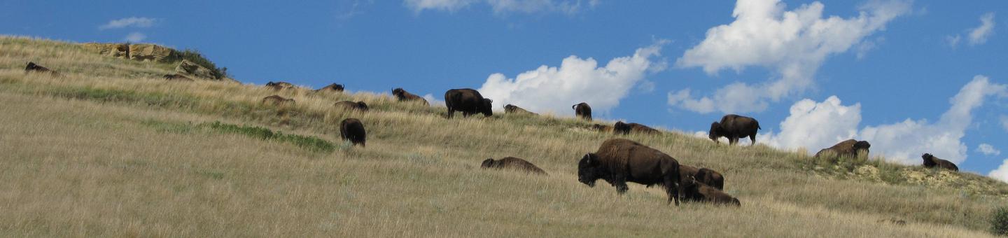
Theodore Roosevelt N...
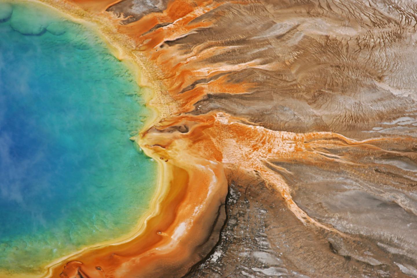
Yellowstone National...
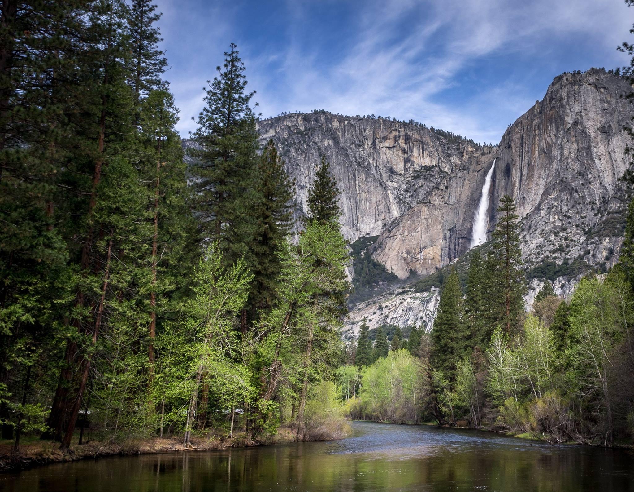
Yosemite National Pa...
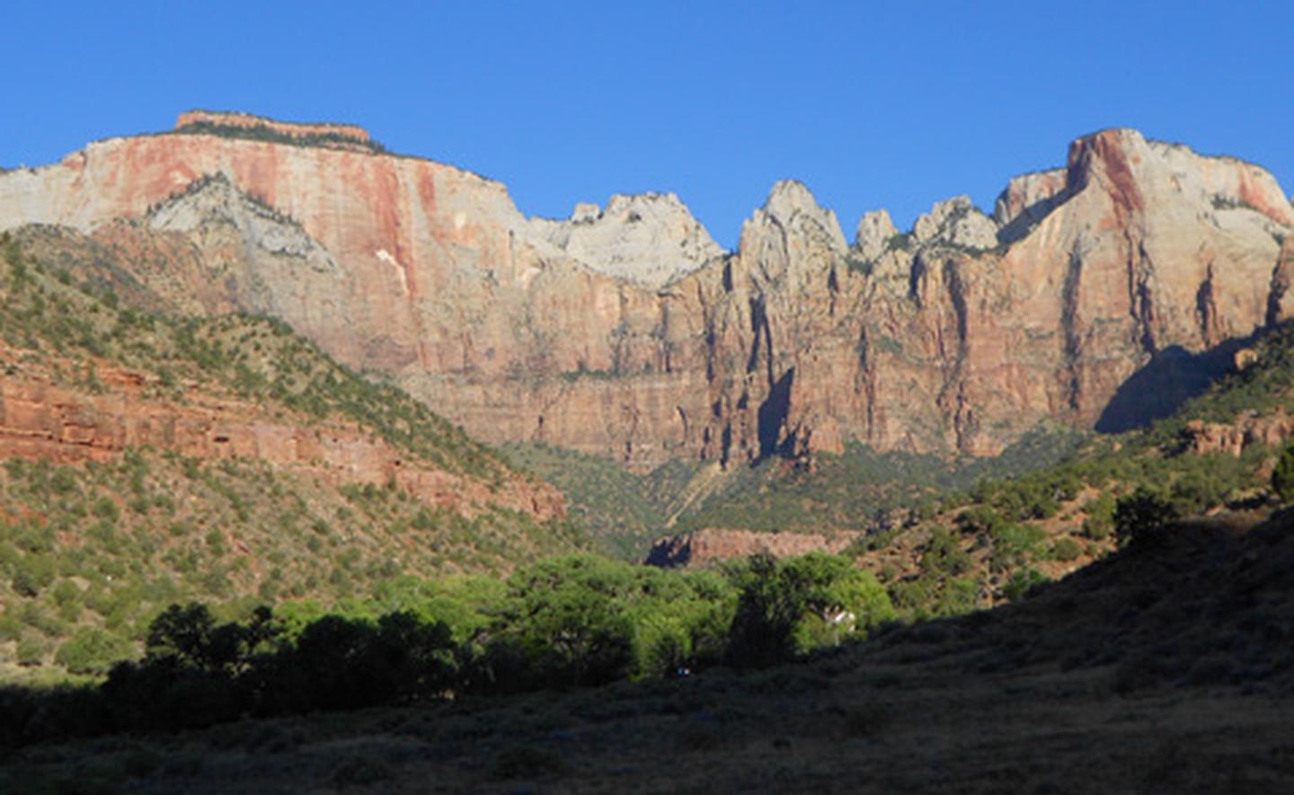
Zion National Park
Buffalo National River
Established in 1972, Buffalo National River flows freely for 135 miles and is one of the few remaining undammed rivers in the lower 48 states. Once you arrive, prepare to journey from running rapids to quiet pools while surrounded by massive bluffs as you cruise through the Ozark Mountains down to the White River.
Directions
Buffalo National River is a long, narrow park that is crossed by three main highways. Highways 7, 43, and 62/65 are the main roads out of Harrison, Arkansas that will take you to the Buffalo River, depending on which part of the park you wish to visit. GPS systems are not reliable in this area so please call ahead for directions or pick up a map of the area beforehand.